
????? ???? Formation ArcGis
 3:14
3:14Drawing Regions in GeoStudio GEO SLOPE
21 ??????
??? 7 ????
 4:46
4:46Introduction � G�oslope
25 ??????
??? 7 ????
 17:01
17:01Formation Seep water (Seep-W) : tracer la ligne de saturation
38 ??????
??? 7 ????
 37:31
37:31Formation Arcgis Part 13 : Divers
183 ??????
??? 7 ????
 3:08
3:08Formation Arcgis Part 12 : Model Builder
120 ??????
??? 7 ????
 15:40
15:40Formation Arcgis Part 11: ArcHydro
175 ??????
??? 7 ????
 15:41
15:41Formation Arcgis Part 10 : SRTM
199 ??????
??? 7 ????
 13:35
13:35Formation Arcgis Part 8 : Geotraitement
205 ???????
??? 7 ????
 12:08
12:08Formation Arcgis Part 7 : Classe d'entit�s
223 ??????
??? 7 ????
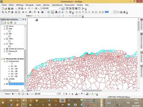
 21:50
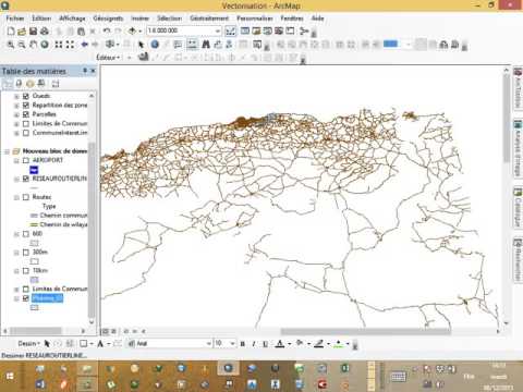
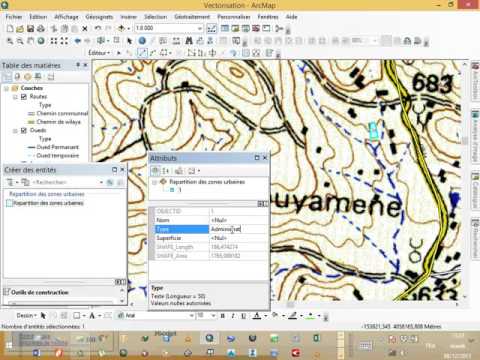
21:50Formation Arcgis Part 6 : Vectorisation
338 ??????
??? 7 ????
 7:20
7:20Formation Arcgis Part 9 : Les selections
150 ??????
??? 7 ????
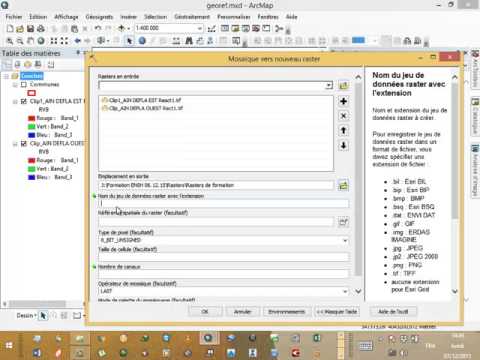 4:01
4:01Formation Arcgis Part 4 : Mosaicage raster
184 ??????
??? 7 ????
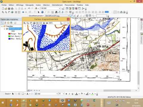 16:53
16:53Formation Arcgis Part 2 : Georeferencement
235 ??????
??? 7 ????
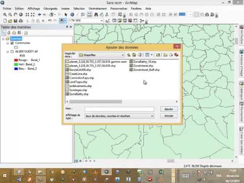 1:04:21
Formation Arcgis Part 1 : intro a arcgis
674 ??????
??? 7 ????
 7:09
7:09Formation Arcgis Part 3 : Decoupage raster
244 ??????
??? 7 ????
 4:30
4:30Formation Arcgis Part 5 : Decoupage raster par vecteur
262 ??????
??? 7 ????
Formation ArcGis
 01 Calage d'une carte topographique
?????? Iha hachi
8:18
 02 Calage d'une carte Google Erath
?????? Iha hachi
5:32
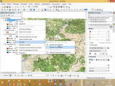
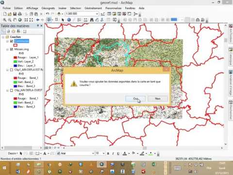
 03 Calage image par vecteur G�or�f�renc�
?????? Iha hachi
4:15
 04 Digitalisation Arcmap 10.2 (point polyline polygon)
?????? Iha hachi
9:49
 05 Comment t�l�charger image google earth
?????? Iha hachi
2:19
 06 Sel�ction SQL dans logiciel ArcMap 10 2
?????? Iha hachi
8:19
 07 Analyse th�matique dans logiciel Arcmap 10.2
?????? Iha hachi
5:05
 08 La mise en page par logiciel Arcmap 10 2
?????? Iha hachi
1
Tidak ada komentar:
Posting Komentar